The Sea Between Ærø, Drejø and Avernakø
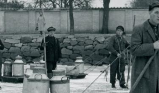
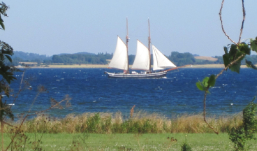
One final option is to continue westwards and choose Søby Havn (Søby Harbour) or sail past Skjoldnæs Fyr (Skjoldnæs Lighthouse) before continuing on to Lillebælt (Little Belt Strait) and then going either northwards or southwards. The many options regarding harbours and anchorages also mean that you can get out of the way in a hurry if the weather starts turning bad. Even though the Archipelago is protected, the seas are short and fiery – causing what is called a choppy sea – and occasionally, the current in the channels runs fast – sometimes at speeds of a couple of knots – which is more than enough to make the journey rough, particularly if you are in a small boat with scant motor power. Back when sailing always involved sails and oars, a heavy squall might have had terrible consequences.
According to tradition, such an incidence happened back in 1532 when inhabitants of Drejø were in their boats on their way to a christening in Ærøskøbing. They were surprised by a storm, and many drowned, including the child and its parents. This tragic accident convinced the inhabitants of Drejø to build their own church, which was inaugurated in 1535 – one year prior to the Reformation. The new parish included the islands of Birkholm, Hjortø, Hjelmshoved and Skarø. The church’s location outside the village in a low area in the south of the island has had historians scratching their heads – but take a look at the chart, and the reason will be clear to you. Just south of the church, the line of depths take a turn close to the shore enabling the dinghies from the neighbouring islands of the parish to easily go ashore here – the place is probably the island’s oldest pier and harbour.