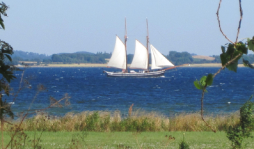
Klørdybet and The Islets
It is important to find the fairway buoys to Klørdybet, for if you sail past, you will hit a shoal that is only 60 centimetres deep. A belt of sand bars stretches from Ristinge Hale (Ristinge Tail) on Langeland to Langholm, and through the years many a ship has run aground here.
Klørdybet (54°50'36.68"N; 10°32'53.02" Ø) is a natural channel, which has been straightened out and deepened over time. Klørdybet started curving more and more to the east, and in 1990, a new fairway was dug, and the excavated material was put in Klørdybet. The new fairway is five metres deep, but occasionally, it gets sanded up. It is very important to keep within the buoys, as the water depth outside the fairway is less than one metre in some places. On the starboard side, you will find the low islets of Langholm, Langholmshoved and Lindholm, which are inhabited by gulls and wading birds.
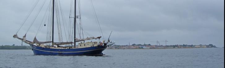
The spit called Eriks Hale (Erik’s Tail) appears on the port side – it was created by material from the disintegration of the long, southern coast of Ærø. A row of old beach huts is located at the inside of the tail. After the entrance, the water shoals. Hestegrunden (The horse’s shoal) is located on the port side, opposite Marstal town – the origin of the name is unknown, however, Marstal’s most impressive structure is located here: a stone pier, approximately 1 kilometre in length, protecting the harbour against eastern storms and ice drifts in the winter. The natural channel of Klørdybet continues northwards with Hvinegrund on the port side and Hoffens Grund on the starboard side, before reaching a dead end at Hovvig Grund. The sailor, however, naturally follows the buoying further inwards to Marstal Harbour via a dug fairway through the sand bar called Søndre Løb (Southern Channel) – and previously called Laaen.