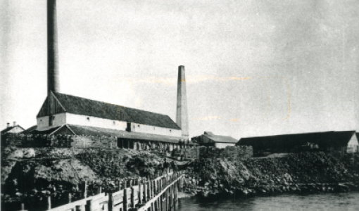
Kleven
Instead of using the Møllegabet channel to get to Ærøskøbing Harbour, you can sail eastwards around Dejrø, passing Ommelshoved Flak (Ommelshoved Flats) on the port side. The old marks for approach were used up until the 1970s and were tough to follow.
Today, however, without much difficulty but with glimpses on the chart plotter, sailors are able to put into port here. Pleasure crafts often put into the port of Kleven, which is a magnificent protected natural harbour with good options for anchorage. An old pier is located innermost in Kleven. Before getting there, you need to steer clear of several large rocks. In the era of sailing ships, Kleven was used for laying up schooners, galleasses and cutters for the winter. Ommel used to be a skipper’s town, and at its busiest, around 50 freight ships were based in Ommel and the neighbouring village of Kragnæs. The water depth reaches two metres at the end of the old pier. From the pier, the road leads into the skipper’s town, which much like the towns of Dragør on the island of Amager and Sønderho on the island of Fanø has a shambles of winding streets and lanes, where visitors may easily get lost. The town remains idyllic, and the local residents take good care of the harbour front and the pier, which has now been furnished with toilets and baths.
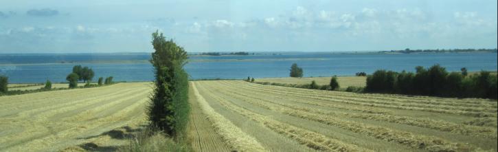
The southern part of the bay separating Ærøskøbing and Kleven is very shallow. Below the high country at Nevre is the island of Lilleø. This small and low island was once inhabited, and the soil was cultivated, however, the last residents left the island for good in 1898. Today, the island is grazed by sheep, and the island’s other inhabitants are herring gulls and arctic terns. Nørreholm, near the village of Kragnæs, is another grassy islet. Today, there is no foreland at Kragnæs, but there used to be, when Gråsten Nor (Gråsten Cove) cut deep inland, almost splitting Ærø in two. The waters were excellent for fishing, and a small ferry sailed across the cove, thus shortening the journey between “the two Ærø’s”. In 1856, Gråsten Nor was dyked and drained. The indented nature of Ærø’s coastline was even more pronounced before Gråsten Nor, Vitsø Nor, Stokkeby Nor, etc. were dyked – and this characteristic feature is thought to be the origin of the island’s name. Linguists have interpreted Ærø (or Erre) as meaning “the winding”.