Lindelse Nor (Lindelse Cove)
Lindelse Nor cuts deep into the west coast of Langeland, and with a little care, the cove can be navigated by vessels with a draught of one and a half metres. In some areas, the cove is very shallow, and there is also a reef around Flintholm. The stone and sand shoals make the entrance difficult, and you have to take a bearing at the church spire in Fuglsbølle in line with Højeklint (High Cliff). There are five small islands and three islets in the cove. The two largest islands, Langø and Lindø, are connected to Langeland by dams. The island called Kværnen is around one hectare large, but reaches 11 metres in height and is shaped like a saddle. Eskilsø, on the other hand, is rather low and grassy. Bukø is the outermost of the islands in the cove and consists of a moraine hill nine metres in height, on which a few trees grow, surrounded by a sandy beach. Bukø has never been cultivated, but cattle and sheep have grazed here, as is the case for Kværnen and Eskilsø.
The cove has been explored since the Middle Ages. This was discovered when excavating the site called Købingshoved, a castle mound located on a small isthmus a little north of Kværnen. As its name reveals, Købingshoved was a “købing” – a small trading post that dates back to the early 14th century. It was well-protected in the bottom of the cove, and its complicated navigation protected it against attacks from the sea. The trading post, however, never became a true competitor to Rudkøbing, which was granted its market town privileges back in 1287, whereas Købingshoved was eventually abandoned.
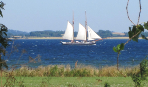
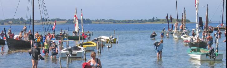
Today, the cove is navigated by a number of mostly local pleasure crafts, most of them lying at anchor sheltered by Bukø. If the wind blows a strong gale from the west, it is a good idea to stay away from the cove, which can be an unpleasant place to be with its breaking seas and wealth of shoals.