Fotograf
Skiveegnens Erhvervs- og Turistcenter
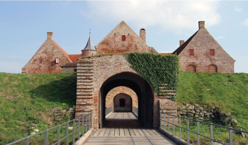
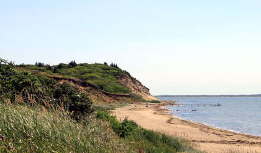
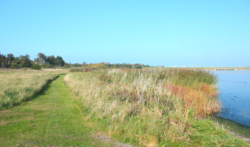
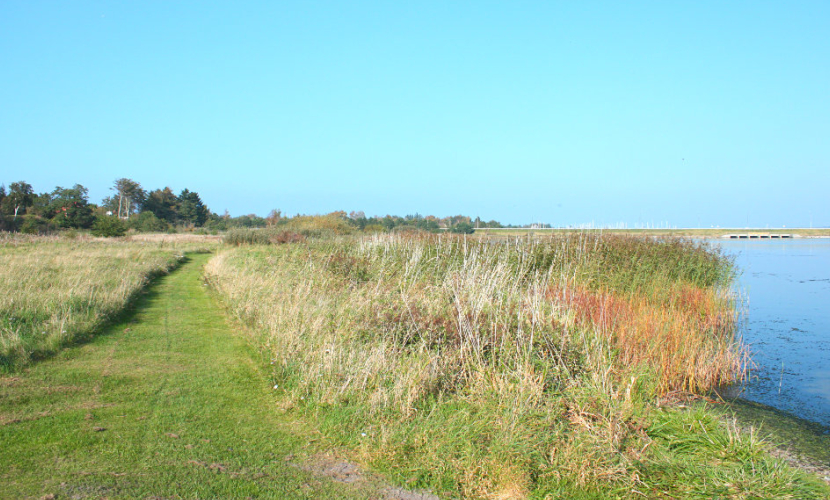
Virksund - 6,9 km
P: North of the marina (N 56° 36.604’, E 9° 17.455’)
L: 6,9 km
Marking: Blue
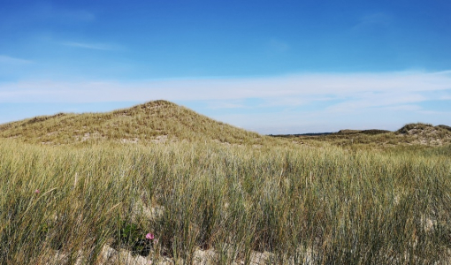
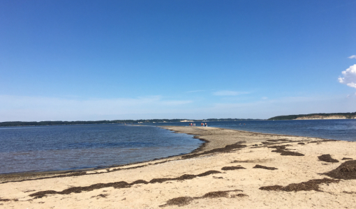
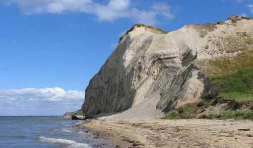
The route follows the coast up to the canal and the pump station, then along old roads and a dried-up lake, across recently discovered settlements from about 5,000 B.C. and past the holiday house area. On some parts of the beach it can be difficult to pass dryshod.
Adresse
Sandkrogen 10B
7840 Højslev
Denmark
Limfjordsområdet er en af Danmarks bedste destinationer til aktiv ferie. Naturen inviterer dig til at tage vandrestøvlerne på og tage dig på eventyr. Året rundt kan du få storslåede oplevelser.
Andre Hiking trails
i sejleruniverset
Experience Limfjorden