Marstal Harbour and Roadstead
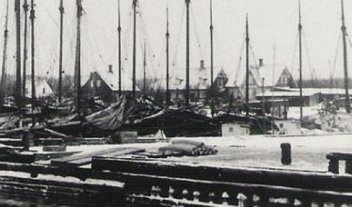
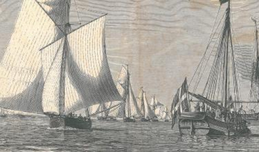
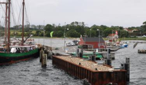
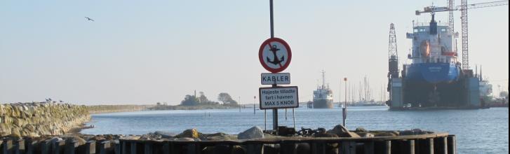
Putting into Marstal Harbour is definitely worth it. In the summer, pleasure crafts crowd the long harbour basin. The town’s many ships have always been laid up in the harbour. Even though the fleet of sailing ships, and more recently, the fleet of motor ships, have disappeared, and the ferry service has ceased to operate, there is always something interesting to see. Two locally built ships are stationed in the harbour as concrete evidence of the town’s shipping history. “Samka”, a motor freighter from 1956, and the newly restored schooner “Bonavista” are both stationed at Eriksens Plads (Eriksen’s Place). The latter is open for the public; however, the ship lacks rigging, motor, and equipment, and is therefore no longer able to sail. Eriksens Plads with its shipyard belongs to Marstal Søfartsmuseum (Marstal Shipping Museum). Visitors can see the different vessels currently being restored and observe and listen to the hot-bulb engines, which are started at regular intervals. At its peak, Marstal Harbour could boast no fewer than eight shipyards. The floating dock attracts attention and indicates that the harbour is indeed still very active. For those who arrive aboard their own boat, a visit to Marstal Søfartsmuseum is an absolute must, as it holds one of Denmark’s best shipping-themed collections.
If you are leaving Marstal Harbour to the north, sailing further into the Archipelago, the voyage is through Nordre Løb (Northern Fairway), which is well buoyed. The course is due north, until you reach the northern approach to Marstal, where the fairway turns at an angle of 90 degrees, leading to another fairway. On the starboard side, to the south, you will find sandy islets. The fairway, which is 3.8 metres deep, passes by Mandens Grund (The Man’s Shoal) to the south and Meyers Grund (Meyer’s Shoal) and Venegrund to the north (54,53,00 N; 10,34,00 Ø). Johan Anton Meyer was a commander of the Danish navy, and in the 1820s and 1830s, he was in charge of the measurement of the shoals in both The South Fyn Archipelago and The Smålandsfarvandet between Lolland, Falster and Sjælland. When sailing past the sea buoy, you will find yourself in the waters known as Bredningen.
Instead of following the buoyed route, you are able to continue northwards without difficulty, to the entrance to the Mørkedybet channel. An alternative route could be towards the small, oblong island of Halmø, which is a great place to cast anchor for lunch. The sea to the west of Halmø is called Halmø Sund (Halmø Strait), however, only kayaks and barges are able to sail between Ommelshoved and Halmø. Halmø is a moraine hill, which reaches its highest point in the north, where the cliff called Halmø Gavl (Halmø Gable) is located. To the west, the island is low and consists of tidal meadows. Sand martins breed on the moraine cliff, and the tidal meadows are colonised by herring gulls and common gulls.